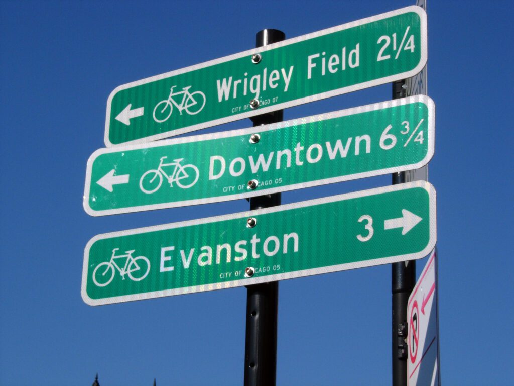
Image source: “Chicago Street Sign Post” by Keith Cooper, CC BY 2.0
Figuring out how to safely bike somewhere in Chicago is often more difficult to navigate than when driving. Google Maps will often suggest routes that are unsafe or uncomfortable to ride for the average layperson. Without a clearly-designated grid of safe streets for biking, those looking to bike to a new destination may need to consult some of the following resources:
- CDOT produces a free, official Chicago Bike Map every spring, available online and with hard copies at bike shops and aldermanic offices. This outlines designated routes and installed infrastructure, such as protected bike lanes and neighborhood greenways.
- The Mellow Bike Map, started by John Greenfield of Streetsblog through a crowdsourcing effort, emphasizes side streets that are low-speed, low-traffic, and feature infrastructure like speed cushions and traffic circles.
- The Center for Neighborhood Technology has developed a bike routing app with wayfinding functionality. It can be installed on your phone as a Progressive Web App.
- The Transit App has developed features for routing bikers on crowd-sourced low-stress routes.
Neighboring Suburbs:
- Evanston
- Skokie
- Lincolnwood
- Park Ridge
- Berwyn
- Illinois Prarie Path (west suburbs)
- Wolf Lake Trail System (Whiting and Hammond)
- Forest Preserves of Cook County
- IDOT State Regions
- Mike Lee developed a trail schematic mirroring the region’s transit system